A natural history of Redmire
Wensleydale
This web site looks at nature within the Redmire Civil Parish, Wensleydale, as indicated by the map. Selection of species is quite random and based on what I find on my walks. Identification of species is correct to the best of my knowledge, but subject to continuous review as many species are difficult and very similar. Also considered are various habitat types and how they support a range of species and biodiversity. There is a general map and a geological map of the area, with a geological time scale, indicating the age of the Carboniferous Period fossils found in this area.
..
Redmire Civil Parish
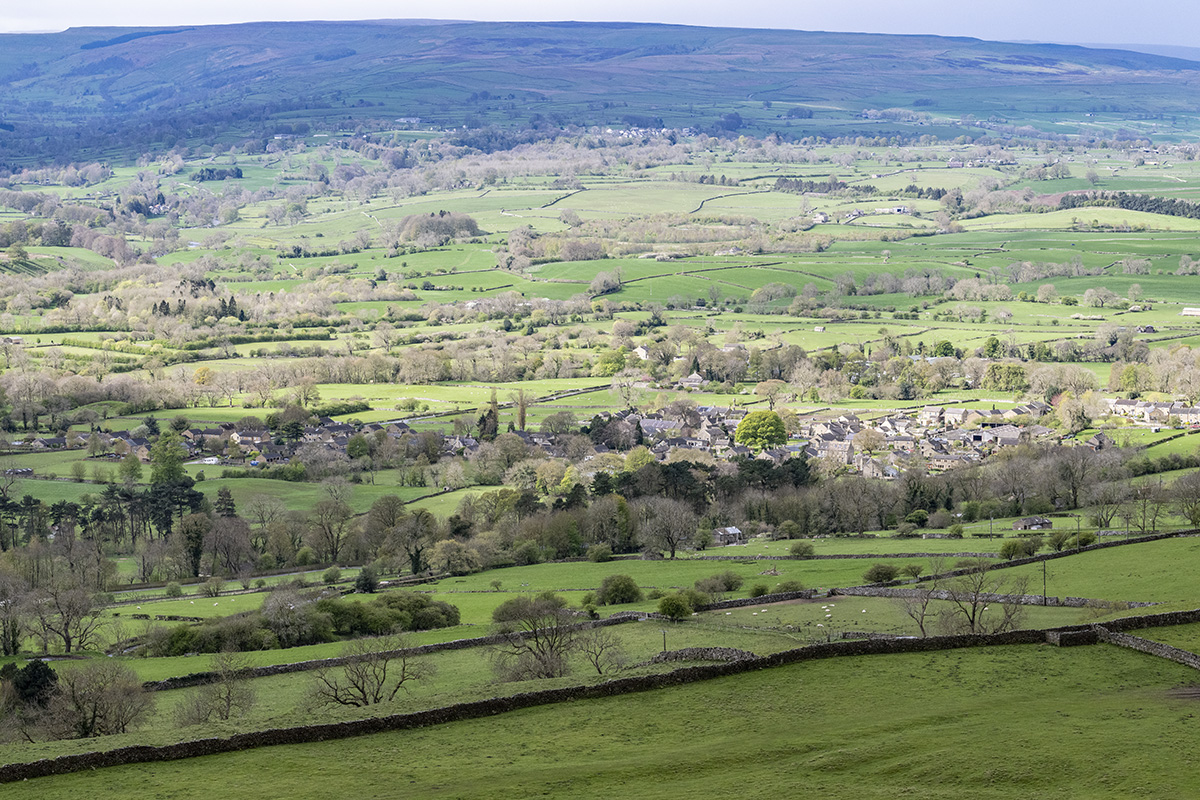
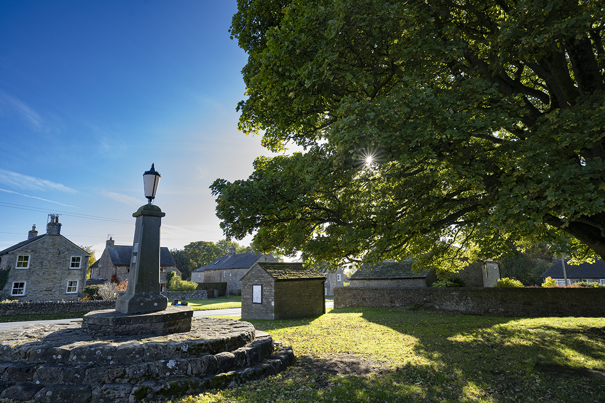
Redmire is a village in the north of England, situated in Wensleydale, one of the northern Yorkshire Dales. It lies just outside the eastern boundary of the Yorkshire Dales National Park. The village centre lies at approximately 160 metres above sea level. Otherwise, the land varies from 120m to 470m above sea level.
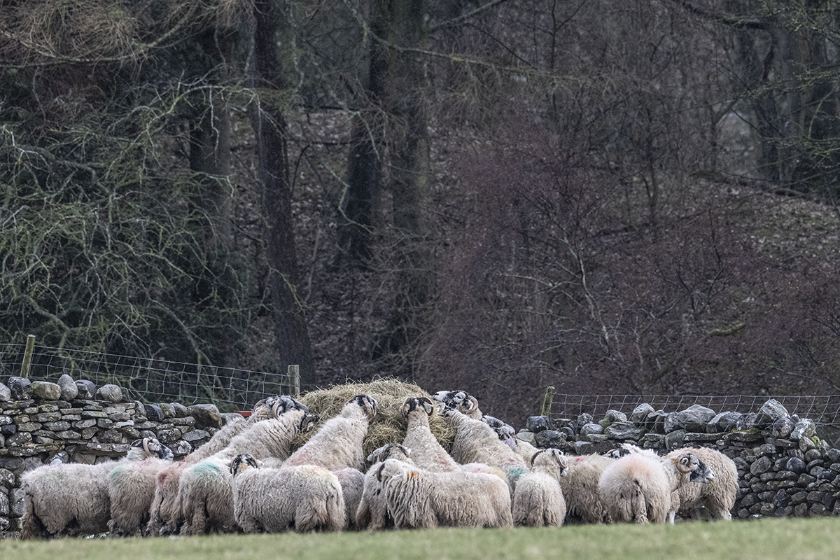
About a third of the civil parish is moorland, to the north. The moors have been scarred by centuries of lead mining, peaking during the 19th century, and this has left an interesting legacy of lead loving plants and lichens, which we collectively call metallophytes. The moors today are managed for heather and grouse. The rest is mainly pasture and meadow, together with the core of the village and various outlying buildings. There is also some woodland. The River Ure forms the southern boundary.
The area is essentially agricultural and has been for many centuries. The Doomsday Book, based on the survey of 1086-7 lists the wealth of Redmire as 5 carucates, which roughly translates as the amount of land that 5 teams, of 8 oxen each, could plough in a single year.
Geologically, the parish is sedimentary, from the Carboniferous period, with alternating limestones, sandstones, shale and coal, with veins of lead ore. More detailed geological information is accessible from the HABITAT link. Like all the Yorkshire Dales, the area is characterised by drystone field walls, in which no mortar is used. These provide a significant habitat for many species.
In many respects, the parish is fairly typical of the eastern side of the Yorkshire Dales. There are some notable habitats including unimproved pasture as well as remains of past lead mining. Unimproved pasture is a nationally diminishing habitat, but it supports a range of fungi called Waxcaps which require short turf that has not been ploughed or treated with fertilisers. Aquatic habitats are restricted to moorland bogs and fast flowering streams, locally called becks, and the River Ure. There are no natural ponds of any size.
Air quality is good, indicated by the presence of the lichen Ramalina fraxinea, which is particularly sensitive to sulphur dioxide pollution.